| Home | Air Tour | Saddle | Kilauea | Kamokuna | Hilina | Napau | Waipio | Glossary (Volcanoes) | Glossary (Geology) | Bottom |
Most of these photos were taken in and around the Orchid at Mauna Lani Resort on the north Kona coast. The Mauna Lani resorts inhabit prehistoric Mauna Loa flows, mostly a'a. The June, 2000 photos were taken a few miles south at the Kona Village resort, which is flanked on the north by 1801-1802 Hualalai flows, again mostly a'a near the resort.
Hoped-for views of the Mauna Loa, Mauna Kea, Hualalai and Kohala volcanoes proved few and far between in January, 1999 due to constant vog ("volcanic fog") from the ongoing eruption of the Pu'u O'o vent at Kilauea. The vog was less apparent in June, 2000, and Maui was readily visible across the 'Anenuihaha Channel most days, but the main peaks were often clouded over on both islands.
 kon00.jpg 65 KB |
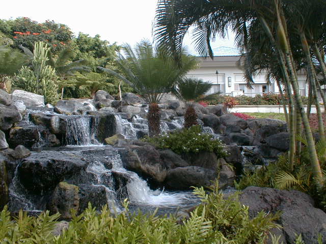
A garden waterfall at the Orchid at Mauna Lani, formerly the Ritz-Carlton. The gardens were breath-taking. |
 kon01.jpg 59 KB |
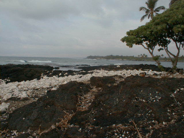
Looking north along the Kona coast at the Mauna Lani resort area, a wave-cut bench in prehistoric Mauna Loa olivine basalt 3,000-5,000 years old. Wave-worn white coral fragments broken from offshore reefs litter the bench. |
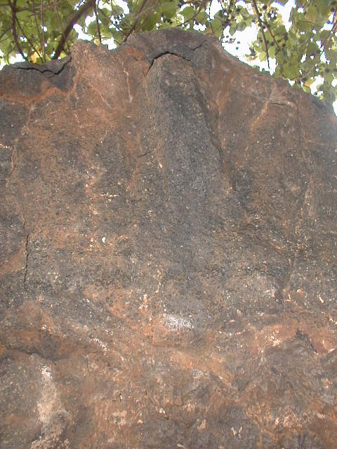
 kon02.jpg 63 KB |
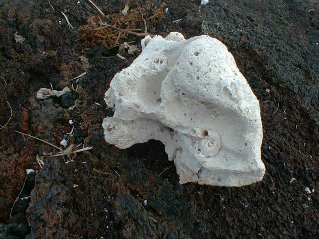
A representative coral beach cobble with a partially embedded snail-like shell and worm holes of varying diameters on bed of oxidizing a'a. |
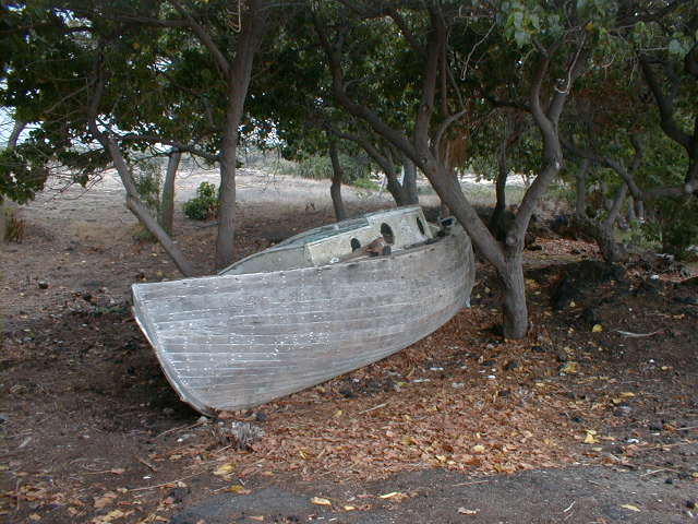 kon03.jpg 65 KB |
Bad luck or boat storage? |
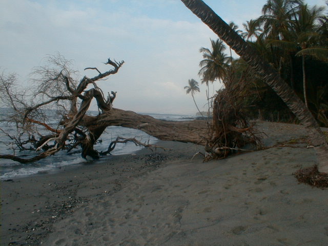 kon04.jpg 62 KB |
Coming from North Carolina and California, I'm not accustomed to seeing large deciduous trees at the beach. On this day, wave action had concentrated dense olivine crystals weathered from shoreline basalts in a miniature green sand beach just this side of the tree roots. When I returned the next day with ziplock in hand to collect some of the green sand, it had vanished. |
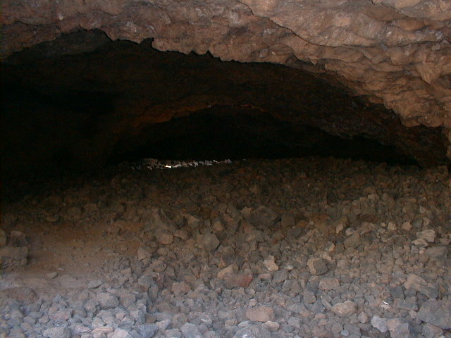
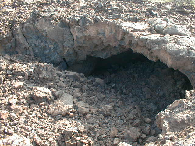
kon05.jpg 64 KB |
The downflow end of a medium-sized lava tube near the beach, here cut by a stream. |
 kon06.jpg 64 KB |
Vesicles in the roof of the same tube. For a spell-binding discussion of Hawaiian basalt vesicles and the story they tell, click here. |
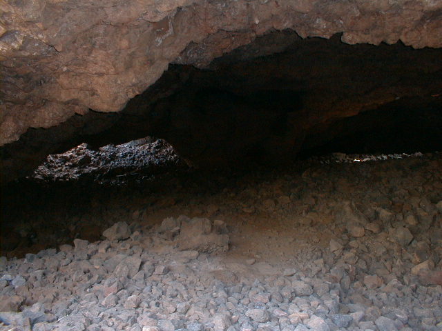
kon07.jpg 62 KB |
Lavacicles on the ceiling of the tube. This patch probably formed from spatter as the lava level within the tube began to drop. Melting of the tube ceiling on combustion of trapped volcanic gases can create a similar glazing. |
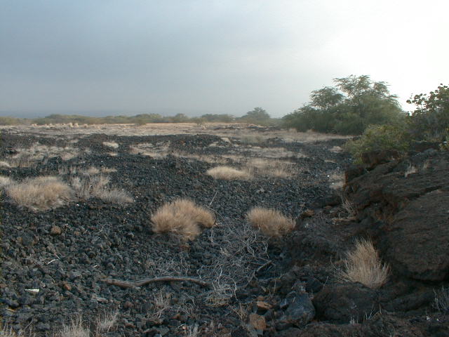 kon08.jpg 60 KB |
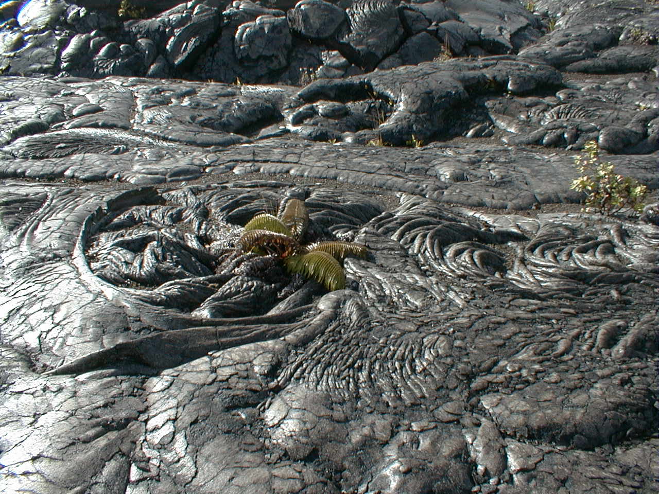
Dry grasses on this prehistoric a'a
flow give away the arid Kona climate the resorts work so
hard to disguise with their lush, heavily irrigated
plantings. The pahoehoe flow regime can change to a'a downflow but the reverse seldom if ever occurs. I wonder if the islands of pahoehoe found in this a'a-dominated landscape are breakouts from tube flows passing through the a'a to the shore. |
 kon09.jpg 65 KB |
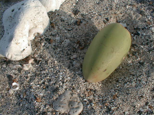
A small coconut 15 cm long rests on a coarse coral and basalt sand. |
 kon10.jpg 63 KB |
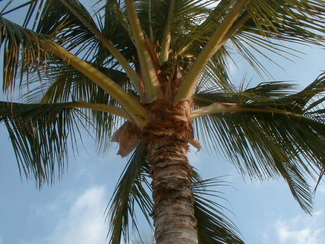
The source of the coconut. |
 kon11.jpg 59 KB |
Coral sand and gravel building up behind a flow acting as a natural jettee or groin. In the stormy winter months, heavy surf removes sand and small fragments from the beach and stores it all just offshore, leaving only the larger cobbles behind. In the summer months, the smaller waves conveniently move these stored loose sediments back onto shore. |
 kon12.jpg 64 KB |
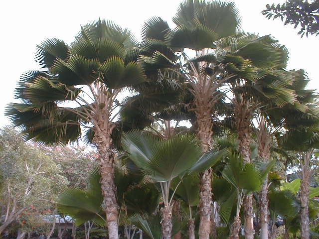
Elegant fan palms grace the Orchid's garden. |
 kon13.jpg 67 KB |
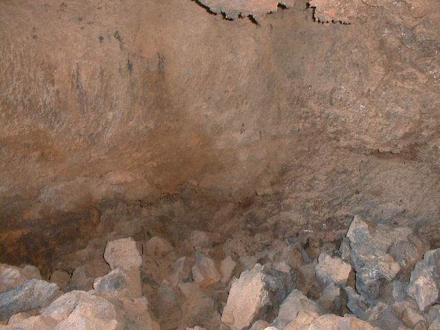
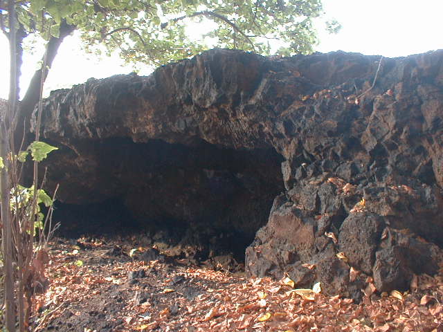
This large, archeologically interesting lava tube on the Kalahuipuaa Trail in the Mauna Lani Historic Preserve served as a dwelling for native Hawaiians for ~250 years. A relatively high ceiling, flat floor and multiple entrances and skylights all made this valuable real estate at one time. The preserve occupies a weathered prehistoric pahoehoe flow. |
 kon14.jpg 67 KB |
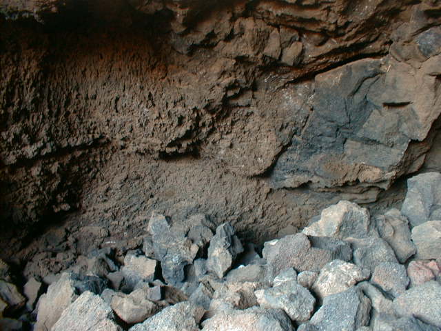
The same lava tube, looking more to the left this time. The skylight to the right is the one in the next photo. |
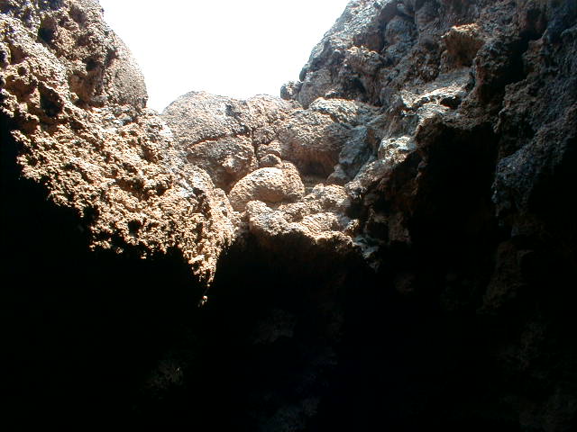 kon15.jpg 59 KB |
A lava tube skylight showing several embedded accretionary lava balls. These balls grow as clinkers, levee fragments and other relatively solid lava-proof objects roll down active flow surfaces, gathering material like a rolling snowball. |
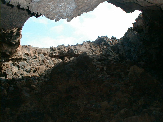 kon16.jpg 65 KB |
The same skylight from the opposite direction, with lavacicles at top center. |
 kon17.jpg 63 KB |
An oxidized lava tube sidewall, with more lavacicles at top center. |
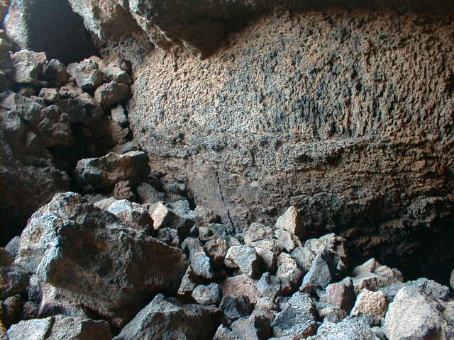 kon18.jpg 65 KB |
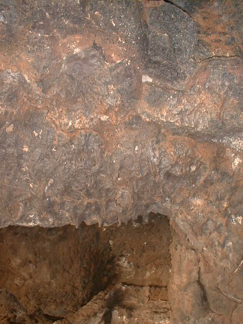
Lava rings (like bathtub rings) record several lava shorelines within the tube as fragments of the surface crust adhered to the tube walls as the crust washed away. Spatter encrusts this side wall at all levels. |
 kon19.jpg 61 KB |
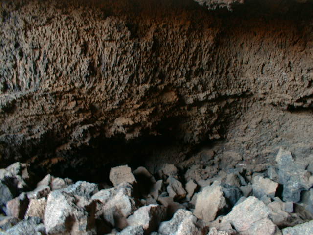
Here the lava rings continue around an outside bend in the tube. Could the undercut in the sidewall have been eroded by flowing lava, like a cutbank in a stream? |
 kon20.jpg 62 KB |
The lava rings continue downflow. |
 kon21.jpg 65 KB |
Outside the same tube looking in, the arch of the roof becomes apparent. These flows originated near Mauna Loa's summit, probably well above 10,000 ft. Lithostatic pressure (due to the weight of the column of molten lava standing above any given point in the flow) was sufficient to inflate the tube, even with a roof nearly a meter thick. |
 kon22.jpg 65 KB |
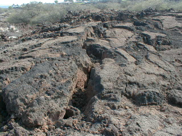
The axial cracks common in roofs of inflated lava tubes develop when the roof becomes too cool and thick to stretch any further elastically as overpressures in the contained lava continue to elevate the roof. |
 kon23.jpg 64 KB |
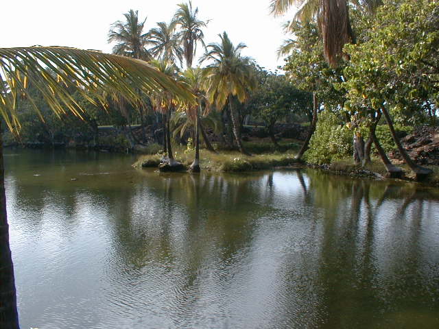
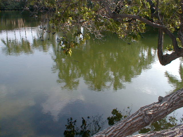
Looking west from the east end of Hopeala fishpond, one of several linked brackish ponds leading to the shore. Native Hawaiians operated these oases as fish farms for centuries. |
 kon24.jpg 62 KB |
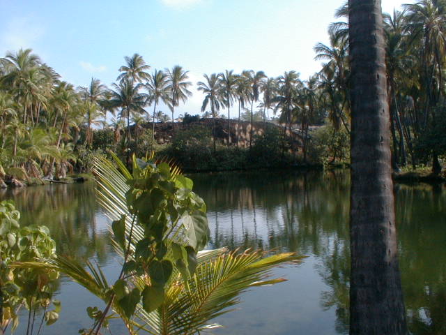
Looking further to the south on Hopeala fishpond. |
 kon25.jpg 61 KB |
These large fish in Manoku Pond looked 3-4 ft long from shore. |
 kon26.jpg 66 KB |
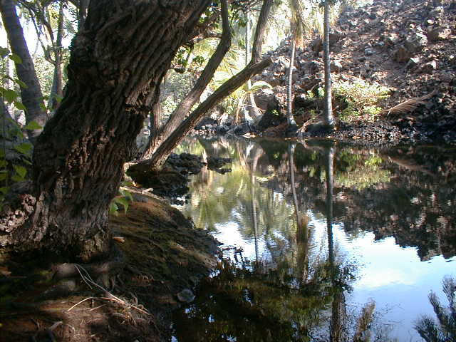
A shady spot on the smallest pond. |
 kon27.jpg 59 KB |
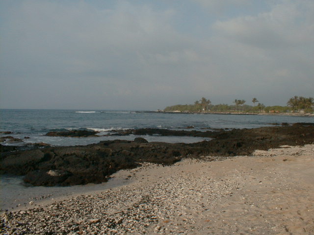
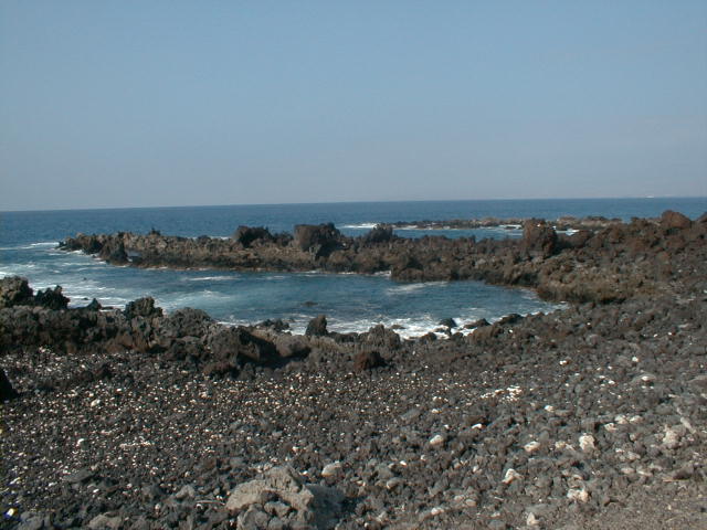
Another wave-cut bench with little coral along the Shoreline Trail at Waawaa Point. Long an important thoroughfare to native Hawaiian fishermen, the trail is now tightly cramped by a golf course wall. A sign at edge of the golf course proudly boasts of the trail's "preservation", which was no doubt entirely and enthusiastically voluntary on their part. |
kon28.jpg 189 KB |
The grassy green west flank of the 400,000-year-old Kohala shield volcano slopes gently into the sea. Note the cinder cones lined up on the limb along Kohala's northwest rift zone. |
 kon29.jpg 188 KB |
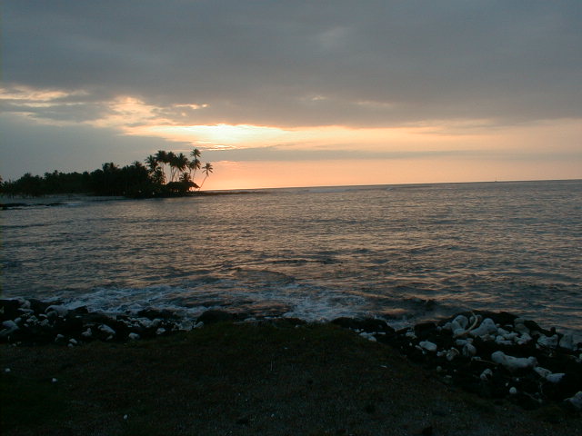
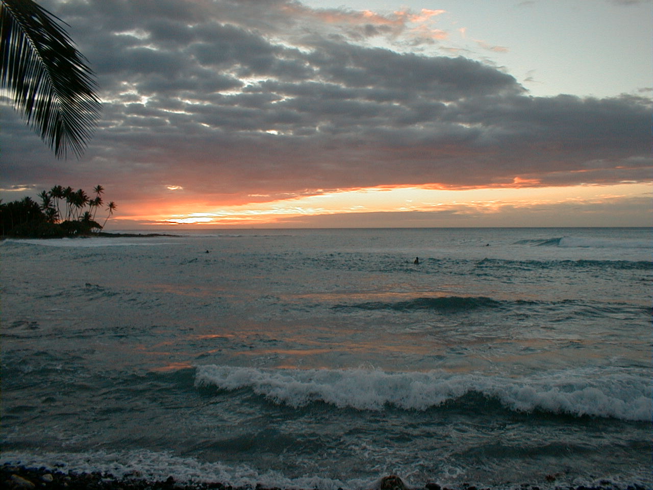
Sunset over Pauoa Bay at the Orchid. |
 kon30.jpg 195 KB |
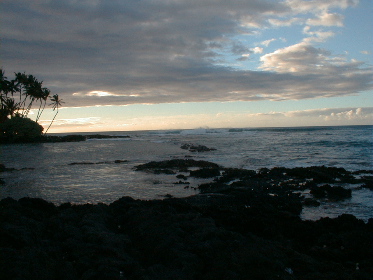
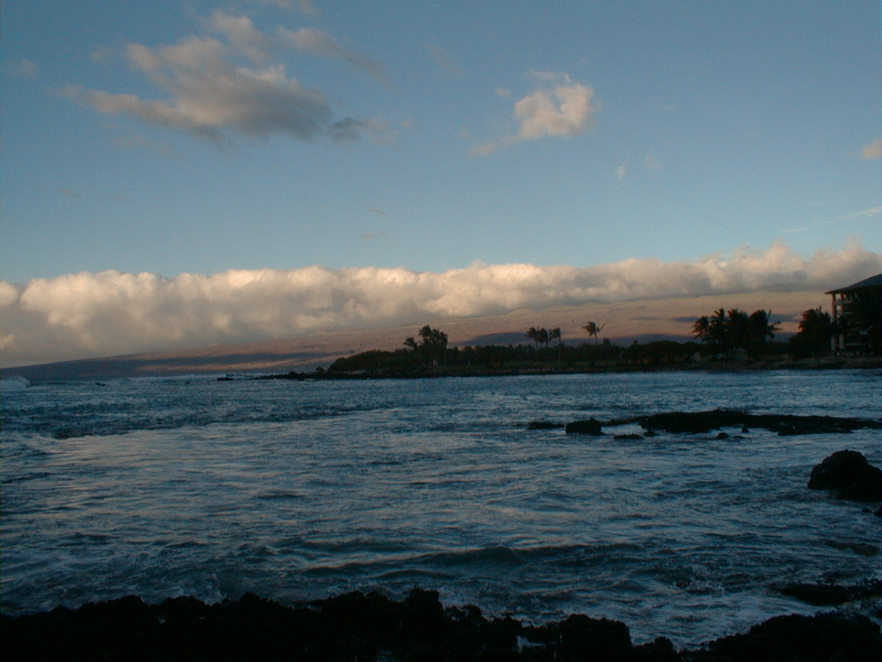
Kona clouds and waves, also at Pauoa Bay. |
 kon31.jpg 64 KB |
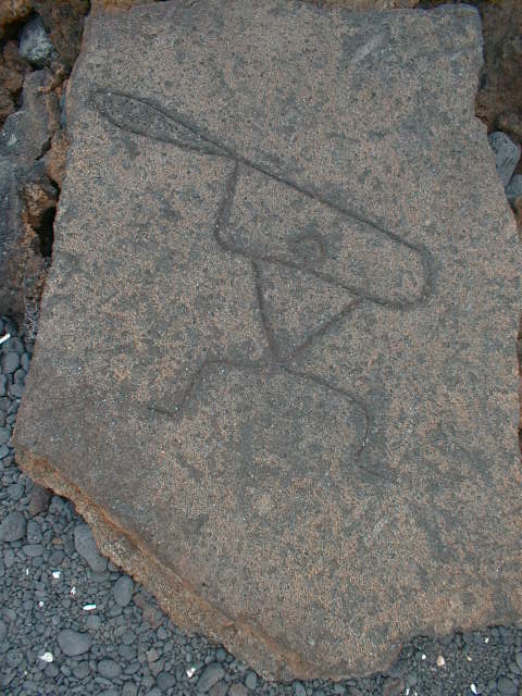
This handsome petroglyph marked a trailhead in Puako Petroglyph Park near Holoholokai Public Beach Park. Look familiar? |
 kon32.jpg 206 KB |
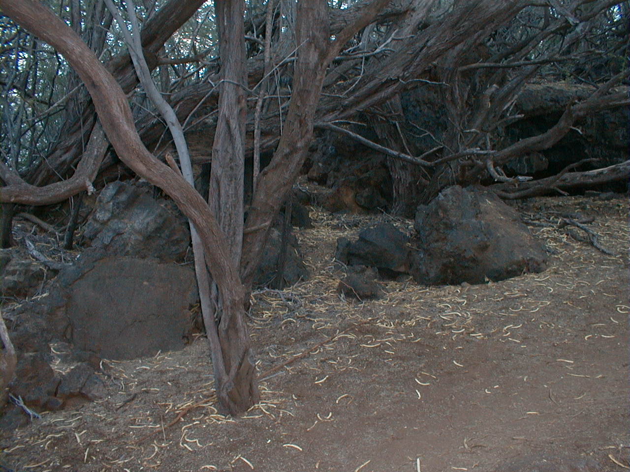
The lava tube at far right in Puako Petroglyph Park was probably a dwelling. Perhaps the petroglyph in the lower left was meant to guard it. Or perhaps it was a Century 21 sign. |
 kon33.jpg 213 KB |
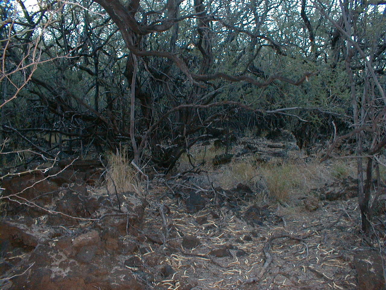
An ohia forest on prehistoric a'a in Puako Petroglyph Park. |
 kon34.jpg 58 KB |
A storm front graced us with this sunset on our last night at the Mauna Lani in January, 1999. |
| Home | Air Tour | Saddle | Kilauea | Kamokuna | Hilina | Napau | Waipio | Glossary (Volcanoes) | Glossary (Geology) | Top |
Please address comments and corrections to jeremy@cliffshade.com
© 2002 Jeremy McCreary; last updated January 21, 2006