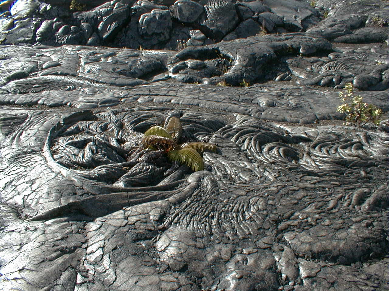
| Home | Kona | Saddle | Kilauea | Kamokuna | Hilina | Napau | Waipio | Glossary (Volcanoes) | Glossary (Geology) | Bottom |
To get a good look at the action at Kilauea, you still have to take to the air. Since the flowing lavas took to the tubes following the August, 1998 pause in the magma supply to the currently active Pu'u O'o vent, there have been no readily accessible vantages on the ground. Many ^hazards and tribulations, some obvious and others not, beset the only available ground approaches to the active vent, lava tubes and lava delta.
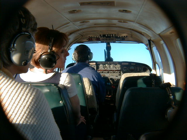
To save a long drive to Hilo and maximize our "hang for the buck", we chose an economical early morning plane tour with Big Island Air out of Kona International Airport. While the much more expensive helicopter tours offered gourmet lunches and flights into lush canyons with breath-taking waterfalls, among other advantages, we just wanted to see the volcano do its thing. We weren't disappointed.
|
By most counts, 5 shield volcanoes have coalesced to form the Big Island, but there are 6 if you count Ninole, an ancient shield remnant as old as ^Kohala peeking out from beneath Mauna Loa's skirt as the rugged Ninole Hills seen at right low on Mauna Loa's southeast flank. Mauna Loa flows have all but buried Ninole's mature cliff-and-canyon topography, which resembles that seen on much older islands like Oahu and Kauai. (Similar topography occurs today on Hawaii only in the faulted and eroded northeast flank of Kohala around Waipi'o Valley.) Ninole's northwest flank probably collapsed into the sea sometime around Mauna Loa's infancy. Some consider Ninole a Mauna Loa precursor rather than a separate shield. |
 |
In all likelihood, ^Loihi, the growing submarine volcano south of Kilauea now 30 km offshore, will eventually join the Big Island, too.
Big Island Volcanoes |
||||
| Volcano | Elevation (ft above sea level) | Estimated Volume (km3) | Stage | Last Activity |
| ^Loihi | -3,180 | 660 | Submarine | Now |
| ^Kilauea | 4,077 | 25,000-35,000 | Shield-building | Now |
| ^Mauna Loa | 13,677 | 80,000 | Late shield-building | 1984 |
| ^Hualalai | 8,271 | >30,000 | Capping | 1801 |
| ^Mauna Kea | 13,796 | 12,400 | Capping to erosional | ~4,500 years ago |
| Ninole | ~1,500 but largely buried | unknown | Erosional | unknown but coeval with Kohala |
| ^Kohala | 5,505 | 14,000 | Erosional | ~400,000 years ago |
Air Tour Gallery
 air00.jpg 54 KB |
The pilot and cabin of our twin-engine 10-seat Piper as Philip and Barbara discuss the view. There must be a downside to this guy's job, but I bet it would take me quite a while to care about it. |
air01.jpg 10 KB |
Oddly appropriate to the occasion, orange streak artifacts reflected off the plane window simulate active flows down the west flank of Kona's ^Hualalai volcano, last active in 1800-1801, when real flows from its northwest rift zone repaved 15 miles of coastline north of Kona International Airport. At 200 years old, these dry leeward alkalic basalt flows look younger and even more barren than 25-year-old flows on the rainy windward side. Just add water! |
air02.jpg 7 KB |
Hualalai (8,271') entered the post-shield capping stage of its life cycle a little over 100,000 years ago. Numerous pyroclastic cones built around its summit since then make Hualalai's silhouette lumpier than Mauna Loa's, as subsequent photos will show. Drift of feeding magma conduits into or beyond the outer zone of the hot spot may contribute to the silica-rich chemistry of capping stage magmas. The accompanying increase in magma viscosity translates directly into the more explosive, less effusive eruption style characteristic of this stage. |
air03.jpg 12 KB |
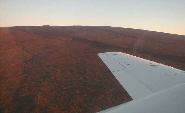
The west flank of ^Mauna Loa glows red in early morning light. Towering nearly 17 km ( nearly 56,000 ft!) above the sea floor sagging beneath its base, Mauna Loa is by far both the largest mountain and largest active volcano on Earth. |
 air04.jpg 64 KB |
Cinder cones and a linear feature likely to be a spatter rampart adorn Mauna Loa's Southwest Rift Zone (SWRZ). Hawaiian shield volcanoes typically sport 2-3 rift zones generating eruptions more commonly issuing from long fissures than from discrete vents. Summit vents are on average less prolific than the rift zones. |
 air05.jpg 85 KB |
Dark young flows from Mauna Loa's 2nd greatest historic eruption in 1950 decorate the east flank near the summit. The 1950 eruptive fissures extended 12 km down the SWRZ from the summit. The little bumps on the limb of the volcano are cones along the SWRZ. |
 air06.jpg 45 KB |
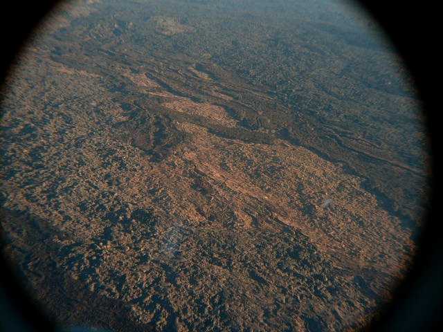
Mauna Loa usually looks very smooth from a distance, but the textures seen here in 1950 and earlier flow surfaces prove otherwise. |
 air07.jpg 21 KB |
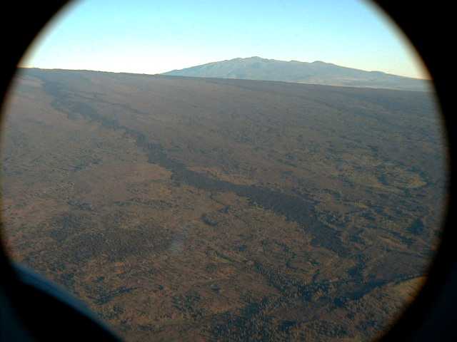
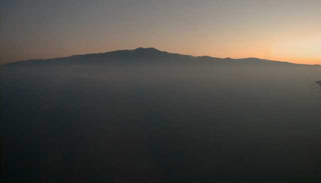
The summit of ^Mauna Kea peeking over Mauna Loa's northeast rift zone. Its summit raised and sharpened by explosive eruptions of capping-phase alkalic basalts, Mauna Kea at 13,796' barely squeaks past Mauna Loa in height, but Mauna Loa (13,679') has more than twice the volume. Mauna Kea was last active 4,000 years ago. |
 air08.jpg 17 KB |
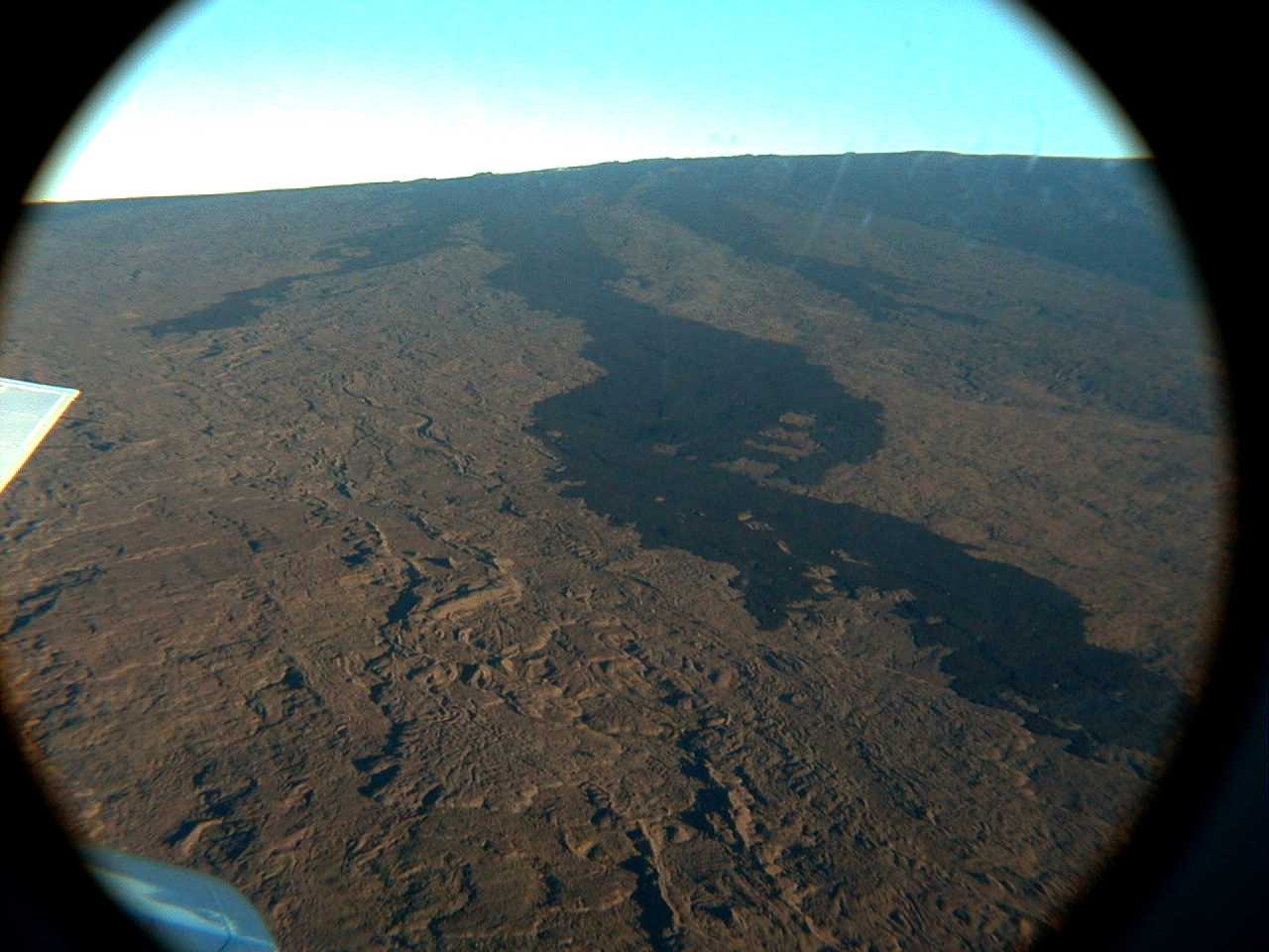
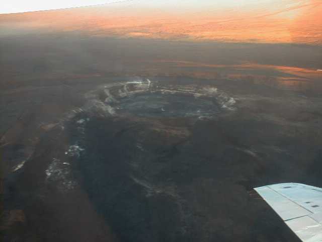
^Kilauea caldera (4077 ft), looking west. Up to 5 km (3 mi) wide and 120 m (450 ft) deep at its west rim, the caldera is a fault-bounded collapse of the summit of the Kilauea shield dating back to the great 1790 eruption, when a sudden, massive outpouring of lava from a submerged section of the east rift zone (ERZ) drained the summit magma chamber, causing the unsupported summit to fall in. |
 air09.jpg 14 KB |
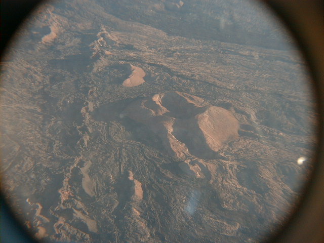
Looking SW, the Halemaumau ("house of everlasting fire") pit crater and shield dominate the southwest floor of the caldera. Last active in 1974, Halemaumau, current home of Pele, had been the main locus of activity at Kilauea since its appearance in 1868. The ERZ has since assumed the lead role, but Pele has yet to move her digs. |
air10.jpg 40 KB |
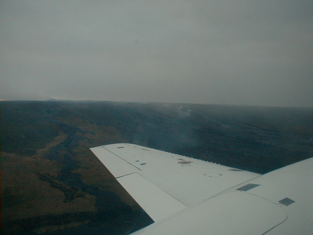
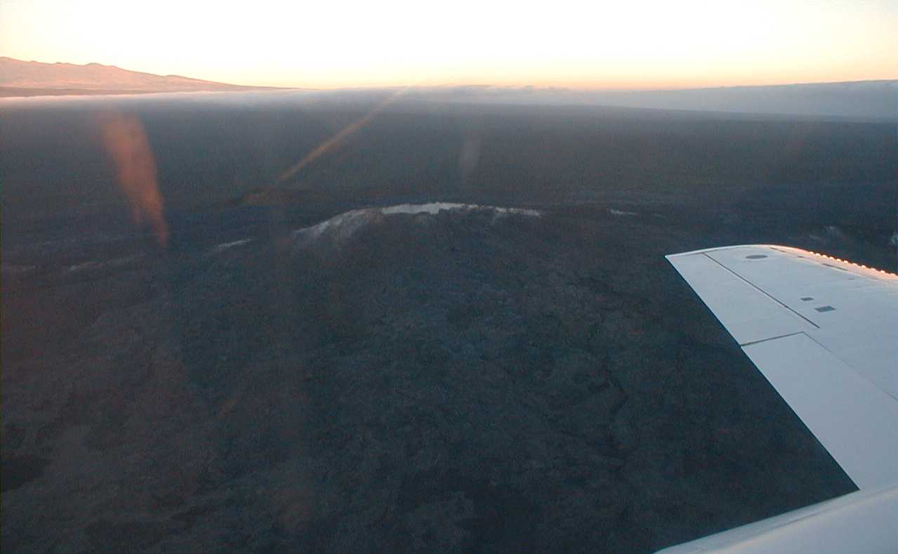
Looking NE over the now languidly
fuming Pu'u O'o vent, the current locus of ERZ activity.
Is the steaming fissure to the left heading uprift toward
Napau Crater the one whose January, 1997 eruption closed
the final segment of the Napau Crater
Trail? The ever-present windward cloud bank in the distance brings Hilo 110" of rain a year. |
air11.jpg 43 KB |
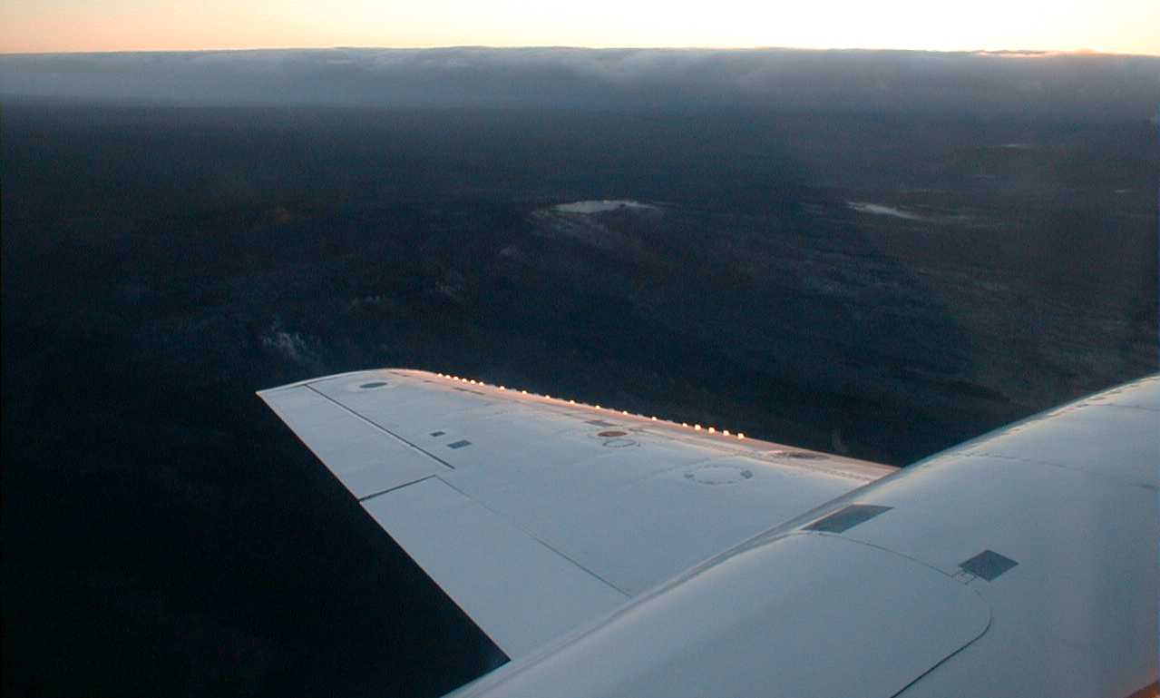
A closer aerial view of Pu'u O'o, now looking NW toward the west flank of Mauna Kea, which is making the transition from capping to erosional stages. |
 air12.jpg 17 KB |
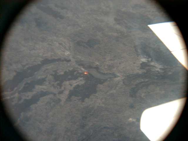
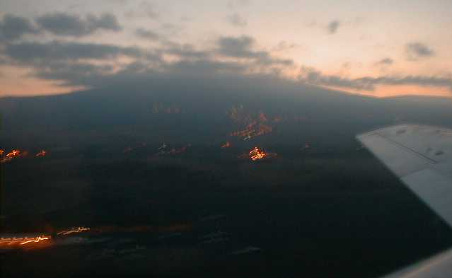
Molten lava glows orange through a skylight in the Pu'u O'o lava tube system well above Pulama Pali. Dark breakout flows drape the tube axis. |
 air13.jpg 54 KB |
Further downslope, the Pu'u O'o lava tube system drops down over Holei Pali and Pulama Pali, letting off a little steam along the way. Pu'u O'o is now on the skyline at left center in this view to the north. Click here to see my shot from the ground at Kamokuna from the same direction and ^here to see J. Kauahikaua's striking aerial shot of the lava entry point over Pu'u O'o. |
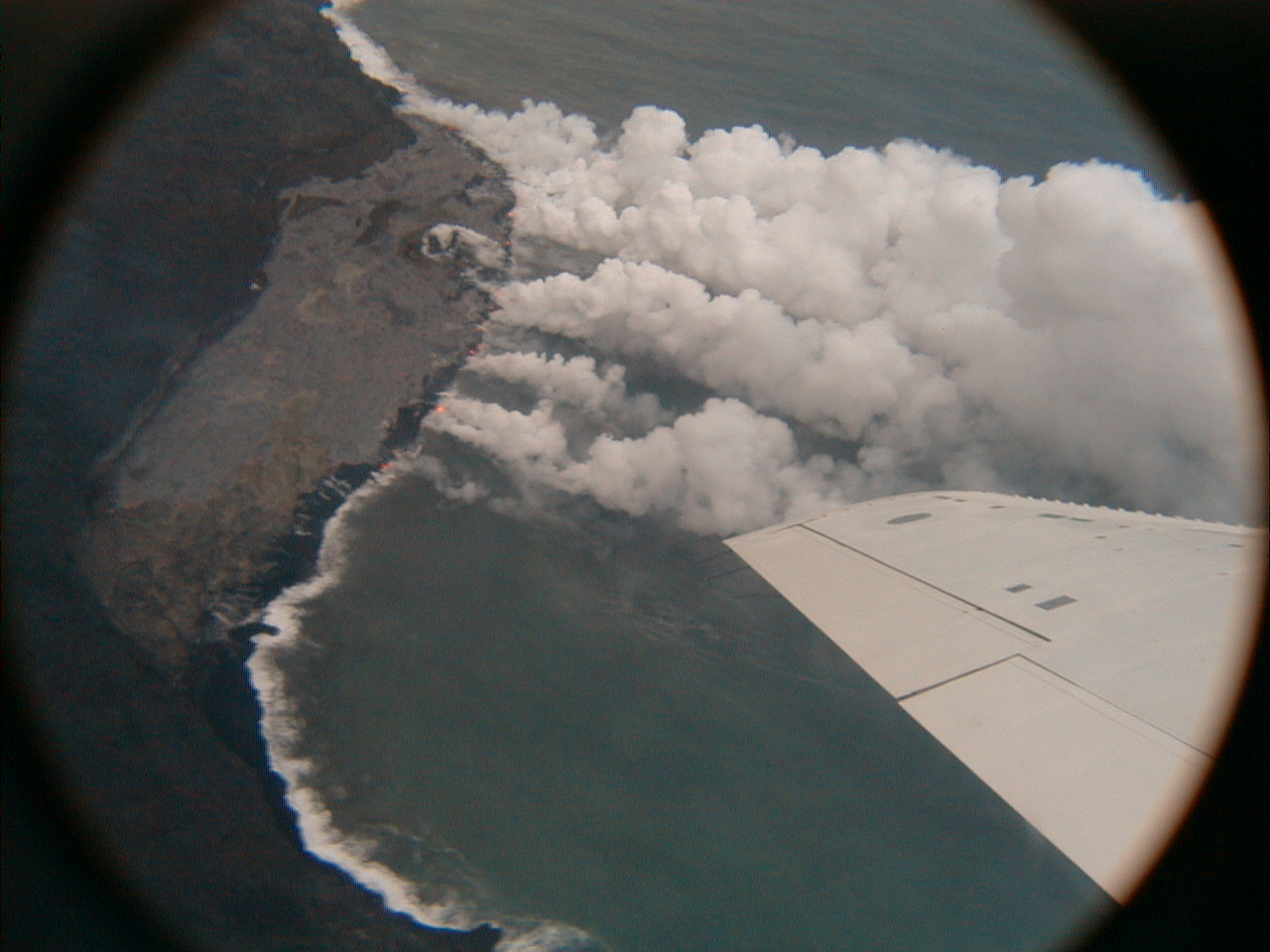
 air14.jpg 216 KB |
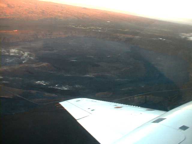
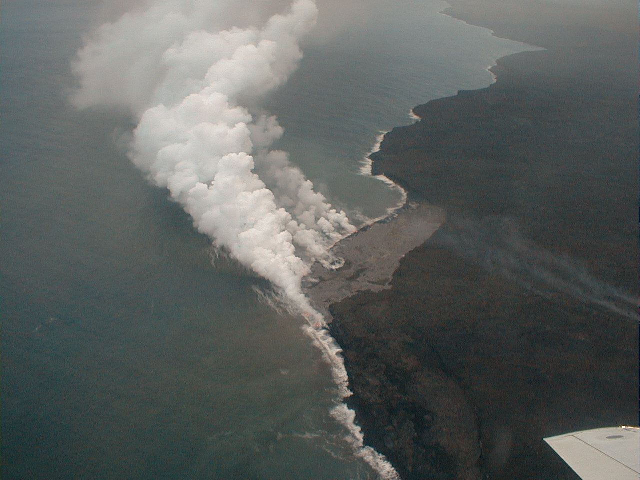
We circled the active Pu'u O'o lava delta for quite a while. Built on an unstable foundation of black sand representing the fallout of countless littoral explosions, the delta periodically ^collapses into the waves, usually with great fanfare as lava and water clash afresh along the new shoreline. Meanwhile, the entry plume heads off to become vog. The view here is to the SW. |
 air15.jpg 214 KB |
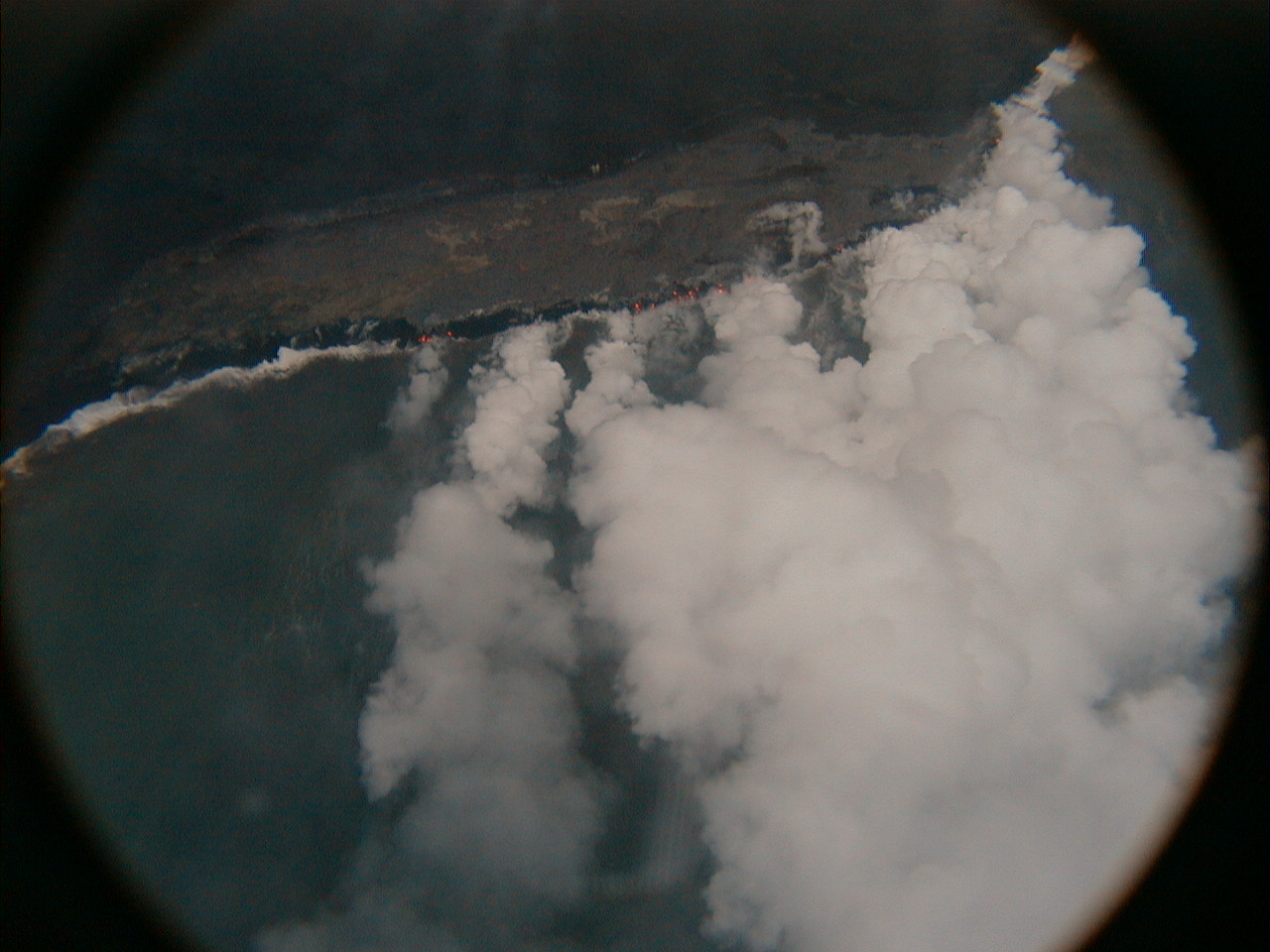
Only questions come to mind here:
How much wider is the delta than the tube system that
feeds it? Note the littoral cone at the far end of the delta. |
 air16.jpg 213 KB |
The headwall scarp at the delta's landward margin reflects ongoing bench ^subsidence. |
 air17.jpg 17 KB |
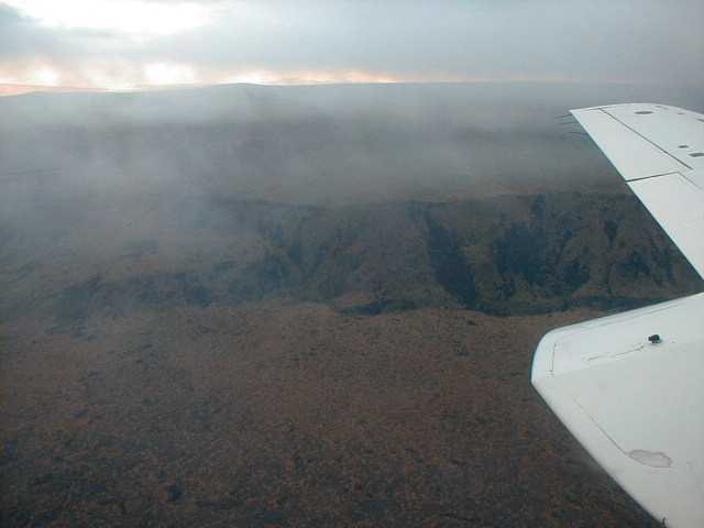
Not far from the lava delta, an intermediate step complicates the otherwise simple and sharp Pulama Pali fault scarp. |
| Home | Kona | Saddle | Kilauea | Kamokuna | Hilina | Napau | Waipio | Glossary (Volcanoes) | Glossary (Geology) | Top |
Please address comments and corrections to jeremy@cliffshade.com
© 2002 Jeremy McCreary; last updated January 21, 2006